Borders and Maps Context
Why Maps Differ
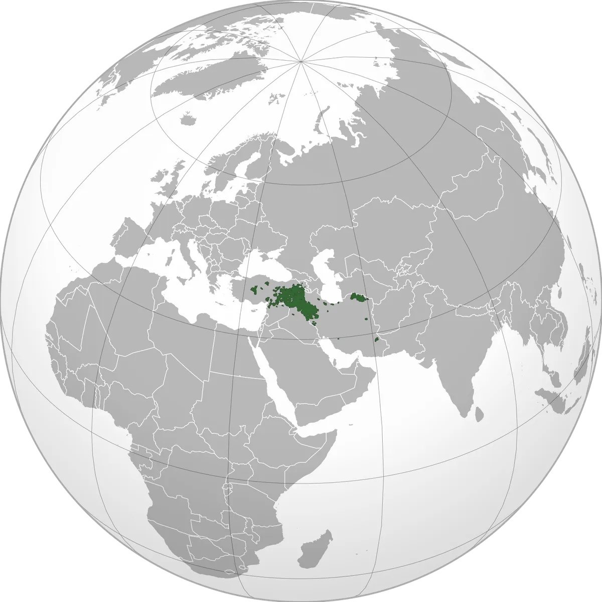
“Kurdistan” is a cultural and geographic term rather than a single internationally recognized state. As a result, maps vary depending on whether they show linguistic majorities, historic areas, or administrative regions.
Some maps emphasize language distribution, others show historical regions, and some highlight present-day administrative borders. Each approach answers a different question, which is why two maps can look quite different while still being accurate in context.
Administrative vs. Cultural
Iraq recognizes the Kurdistan Region as a formal federal entity, while other states do not use the term as an official administrative designation. Many maps therefore distinguish between official borders and cultural regions.
Reading Maps Carefully
When using maps, note the source, date, and purpose. A cultural map is not the same as a political map, and population-based maps can change over time as demographics shift.